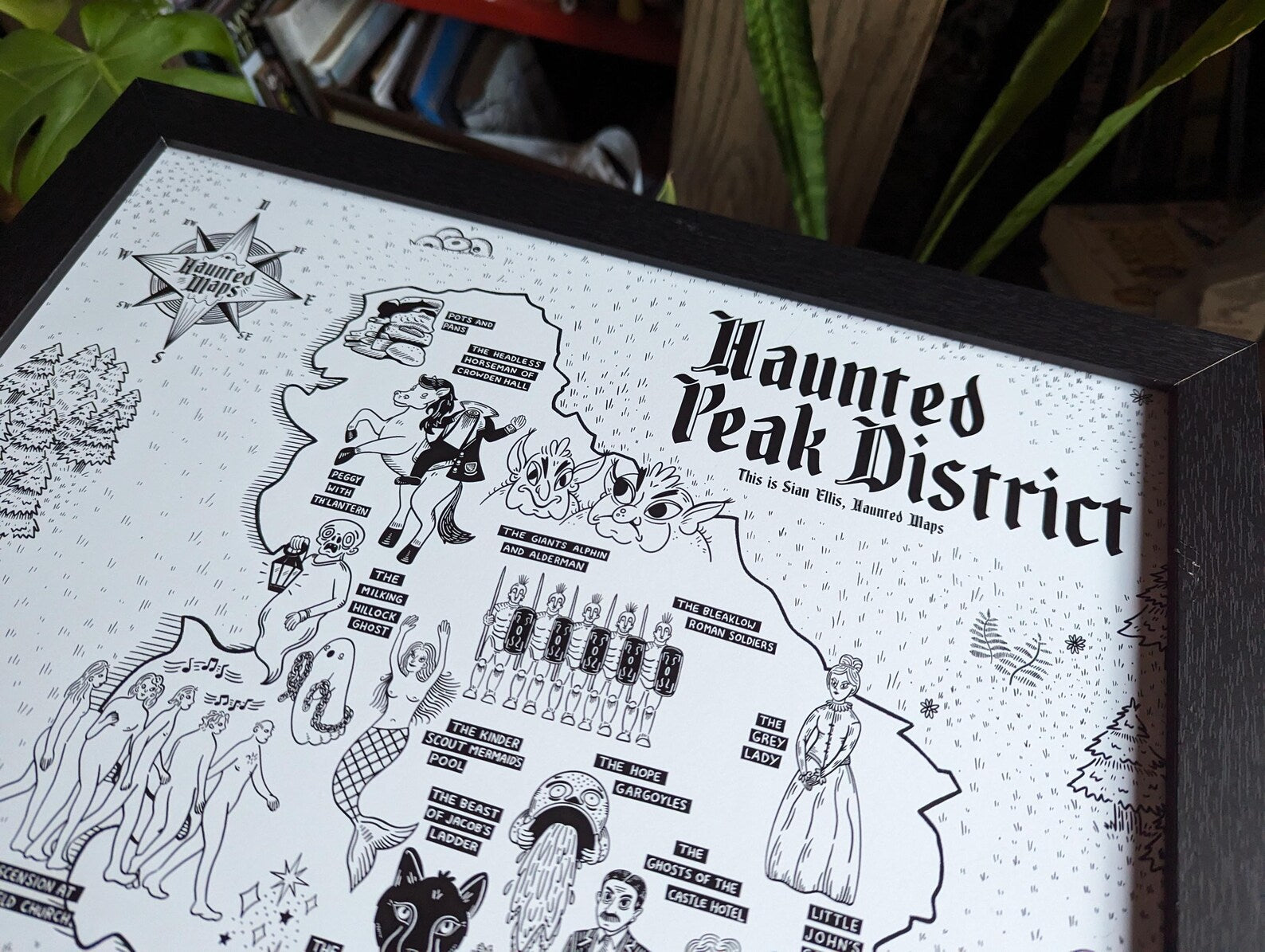
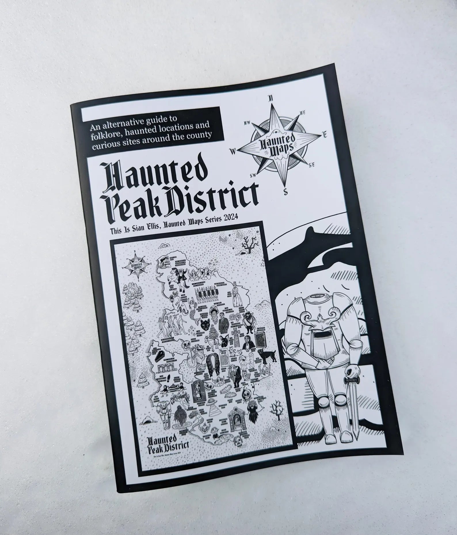
The Haunted Maps are illustrated maps that chronicle regional folklore, ghost stories and curious sites. Think of them as a Lonely Planet guide for tourists interested in the strange and unusual. Each map is available as a glossy A2 poster perfect to be framed and displayed, or as an A5 folded map (A2 size when unfolded) perfect for packing in your bag to be taken along on your adventures.
Alongside the release of each map is the release of a zine that tells the tale behind each illustration on the region’s map. The zines feature the addresses and postcodes of the map’s locations, and added top tips. The zines are a treasure trove of stories, perfect for curling up with - available HERE
About Sian Ellis:
I'm just a northern lass who hasn't stopped drawing for 30 years! I’ve a life long love of all things spooky, and you’ll see this a lot in my work.
I am a self taught artist and all of my products are designed by myself. My prints are all hand drawn, often in minute detail, before being digitally coloured.